Azores walking guides – Sao Jorge
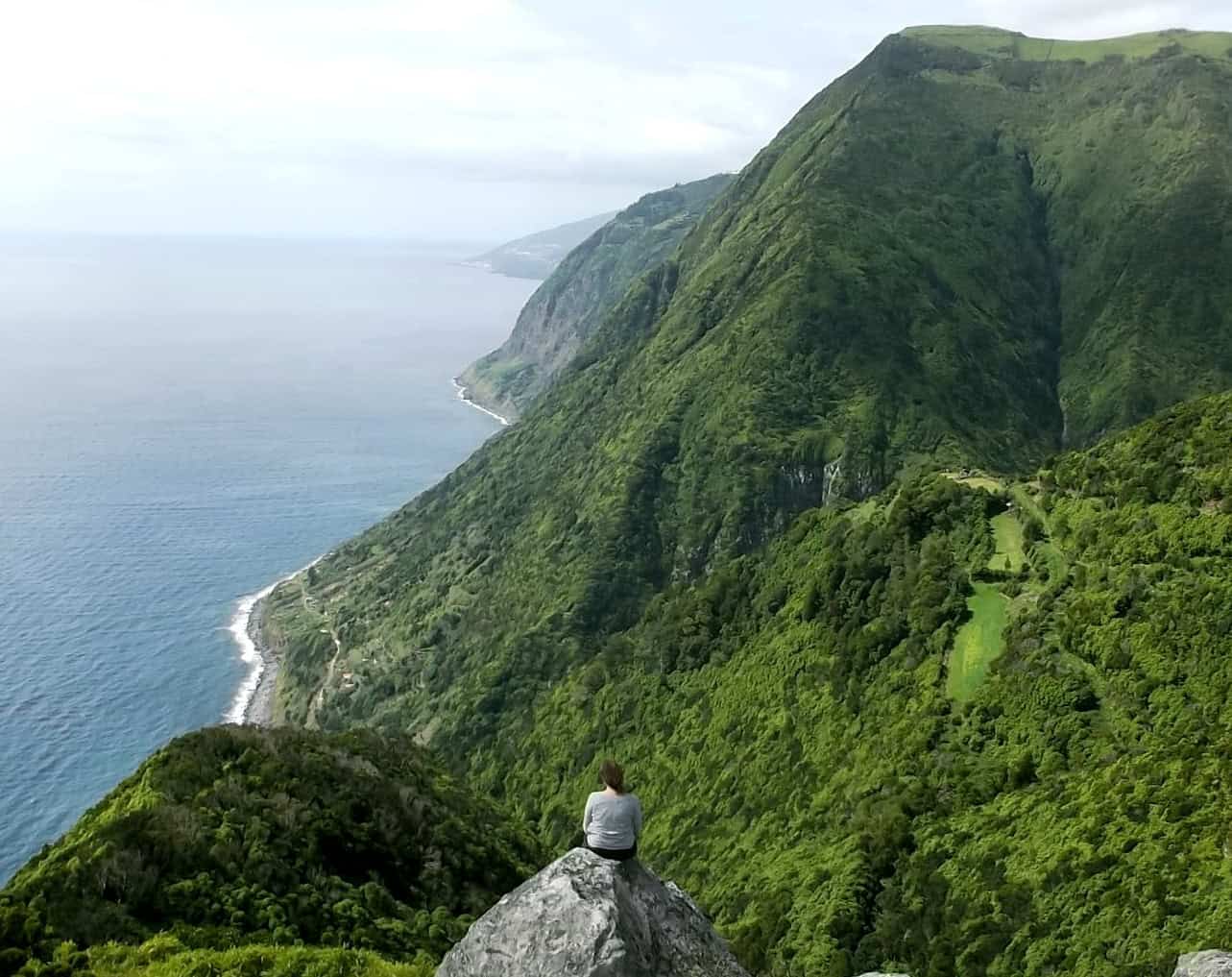
Sao Jorge’s long, slender shape is quite unlike any of the other islands of the Azores. The island was formed by a linear volcanic fissure – a tectonic plate boundary which extends 200km east all the way to the main island of Sao Miguel. Some of our favourite walks on Sao Jorge take you directly along top of this plate boundary, before traversing back and forth across steep sea cliffs, down to the island’s famous fajas – the coastal plateaus which are home to many of the island’s smaller villages.
Fajas are formed by different processes – in the north where the cliffs are steepest, it’s ancient landslides which have created some of the best natural swimming pools in the Azores: the Piscina Natural Simao Dias at Fajã do Ouvidor is a must-swim spot. The cliffs on the south coast are less steep and many of the southern fajas were formed by lava flows – such as the devastating Bocas de Fogo eruption in 1808 which destroyed most of Urzelina: the old church tower survived the eruption and is now preserved as a memorial.
At the north western tip of Sao Jorge, you’ll see extinct Morro Grande volcano and the lighthouse at Ponta dos Rosais – damaged beyond repair during the earthquake of 1980 but somehow still standing. At the opposite, south eastern end of the island you’ll find the first settlement on the island at Ponta do Topo – with Sao Jorge’s Great Route linking all points in-between.
Faja de Alem – Sao Jorge PRC05 SJO
Circular // 4.7 km // Hard (steep descent/re-ascent)
Sao Jorge is a linear island, a wonderful dragon’s back of a ridge spine flanked by coastal areas of flat ground – the Fajas. Sao Jorge’s coastal Fajas were created by landslides and also by volcanic eruption, the lava spreading out and cooling in situ when it met the coast. This route is short and sweet, descending to the Faja de Alem, following the coast and then returning to the start point.
Footpath app route with live tracking
Download a printable Azores Trails guide
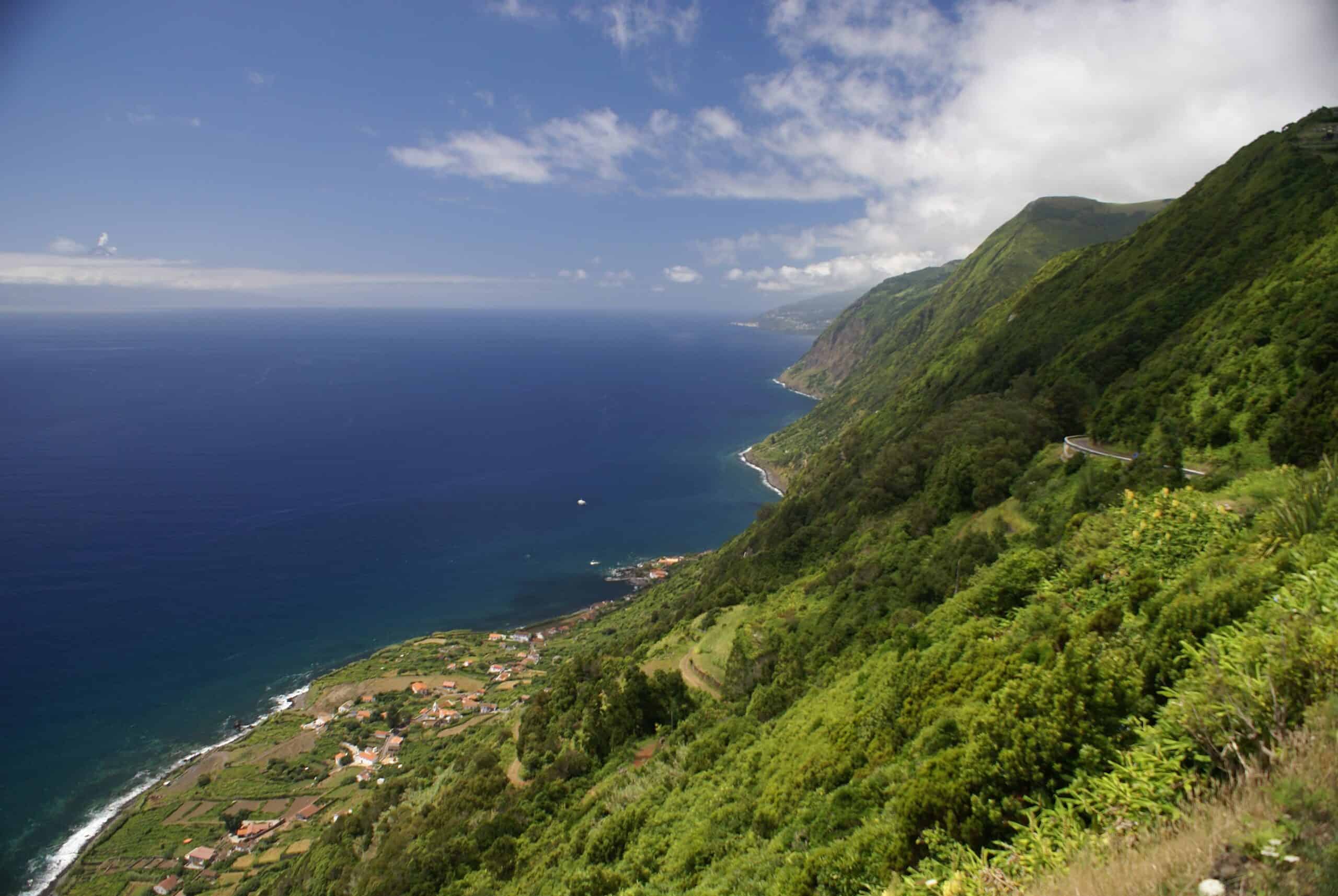
Fajã de São João – Lourais – Fajã dos Vimes – São Jorge PR03 SJO
Linear // 9.7 km // Hard
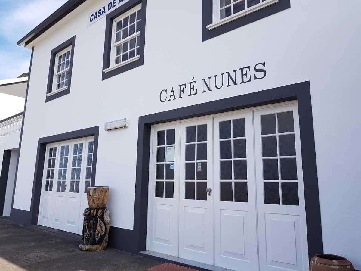
This trail is difficult underfoot and crosses several watercourses – avoid in the wet and after storms. Traversing the eastern end of the south coast, the route joins the Fajas of Sao Joao and dos Vimes. There’s a café at the start and a café at the end – the Café Nunes in Faja dos Vimes serves coffee made from beans grown, picked, dried, processed and roasted right here in the village.
Footpath app route with live tracking
Download a printable Azores Trails guide
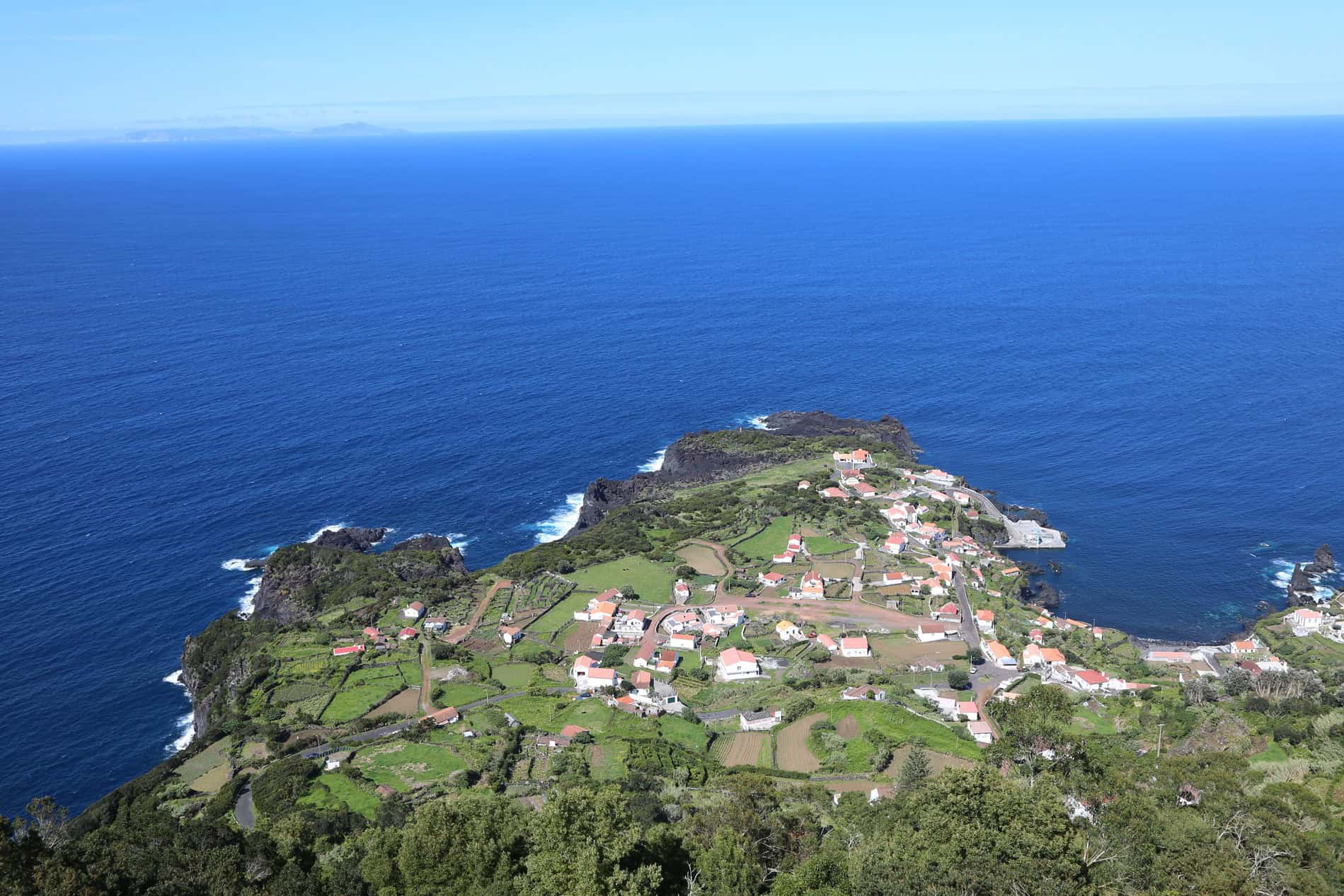
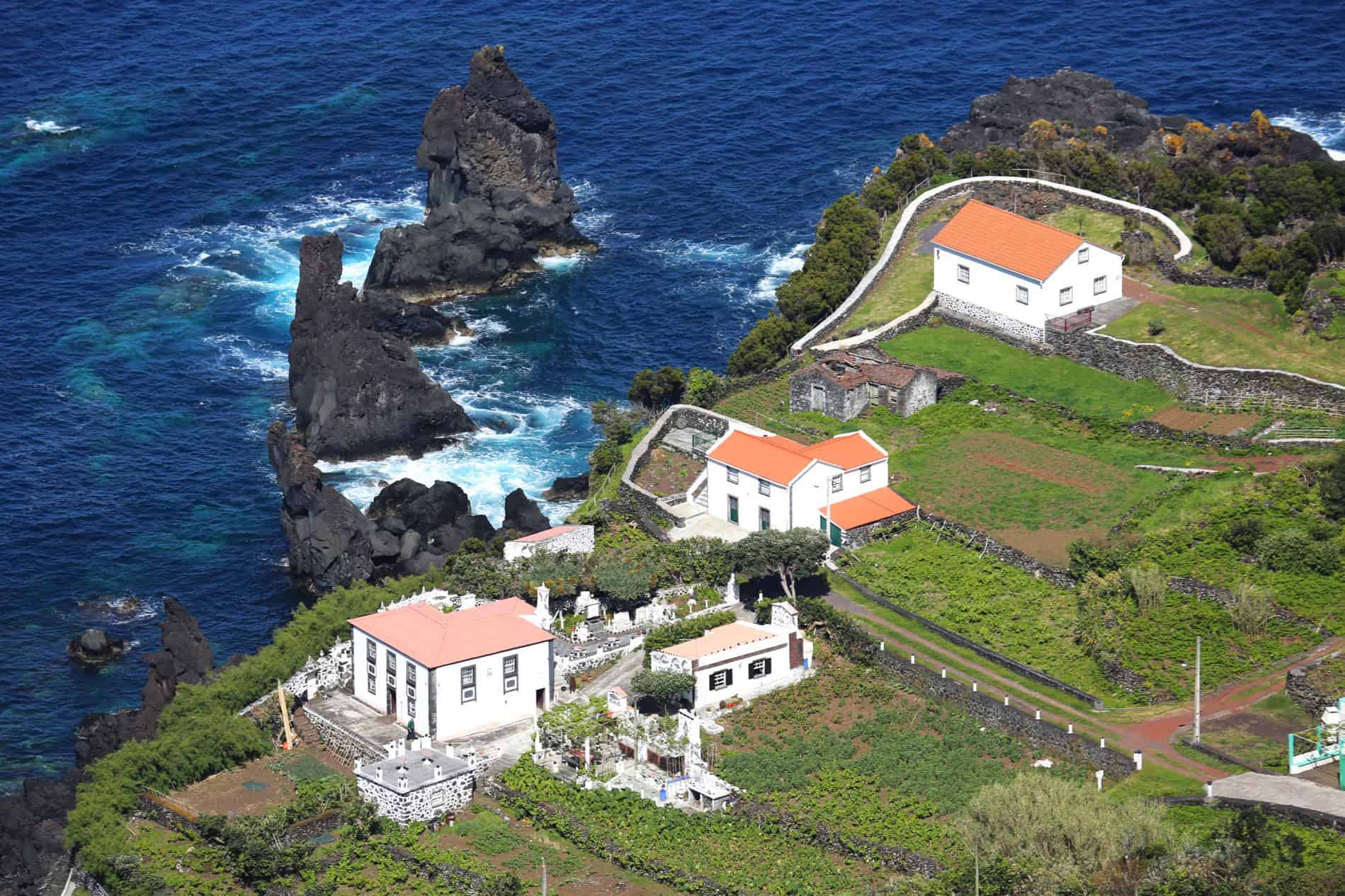
Pico do Pedro – Pico da Esperança – Faja do Ouvidor – São Jorge PR4 SJO
Linear // 16.9 km // Medium
This is the famous Sao Jorge Spine Walk. Starting on the crest of the spine, for the first 8km you’ll wind through the volcanic scenery of the dragon’s back, between 800-1000m, with spectacular views in all directions. The second part of the walk changes in character as you make the descent to the north coast, reaching the Faja do Ouvidor. Here you’ll find the restaurant O Amilcar and also the most spectacular natural swimming pool in the whole Azores – Simao Dias. Sheltered from the swell by volcanic rock formations, the land-side wall of the pool is a grand construction of basaltic columns that will tempt even the most timid swimmer into thinking “wow, I simply must say I’ve swum here!”. This linear walk is best organised through transfers; we’ll take care of this if you’re travelling with us.
Footpath app route with live tracking
Download a printable Azores Trails guide
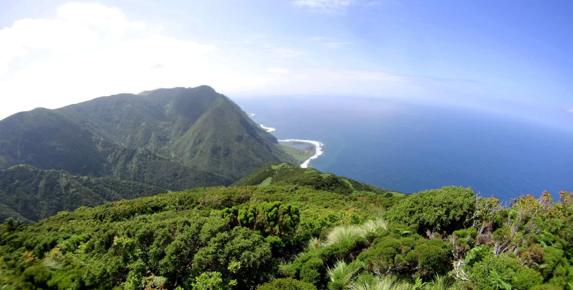
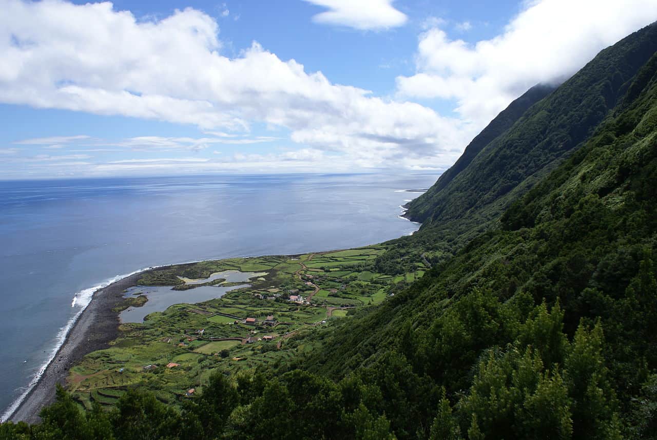
Serra do Topo – Caldeira do Santo Cristo – Faja dos Cubres – Sao Jorge PR01 SJO
Linear // 9.5 km // Medium
The other famous Sao Jorge walk drops north, straight from the central ridge at Serra do Topo, to explore the Three Fajas of Faja do Santo Cristo, Faja do Belo and Faja dos Cubres. The northern coast feels very remote, the unmade path between the Fajas enhancing this feeling and experience. Again this linear walk is best organised through transfers and we’ll take care of this if you’re travelling with us.
Footpath app route with live tracking
Download a printable Azores Trails guide
Serra do Topo – Faja dos Vimes – Sao Jorge PR02 SJO
Linear // 5.5 km // Hard (for the steep descent and uneven path surface)
Dropping south from the same start point of Serra do Topo, this walk is essentially a steep descent to the village of Faja dos Vimes. Either return the same way to your car, or pre-arrange transfers.
Footpath app route with live tracking
Download a printable Azores Trails guide
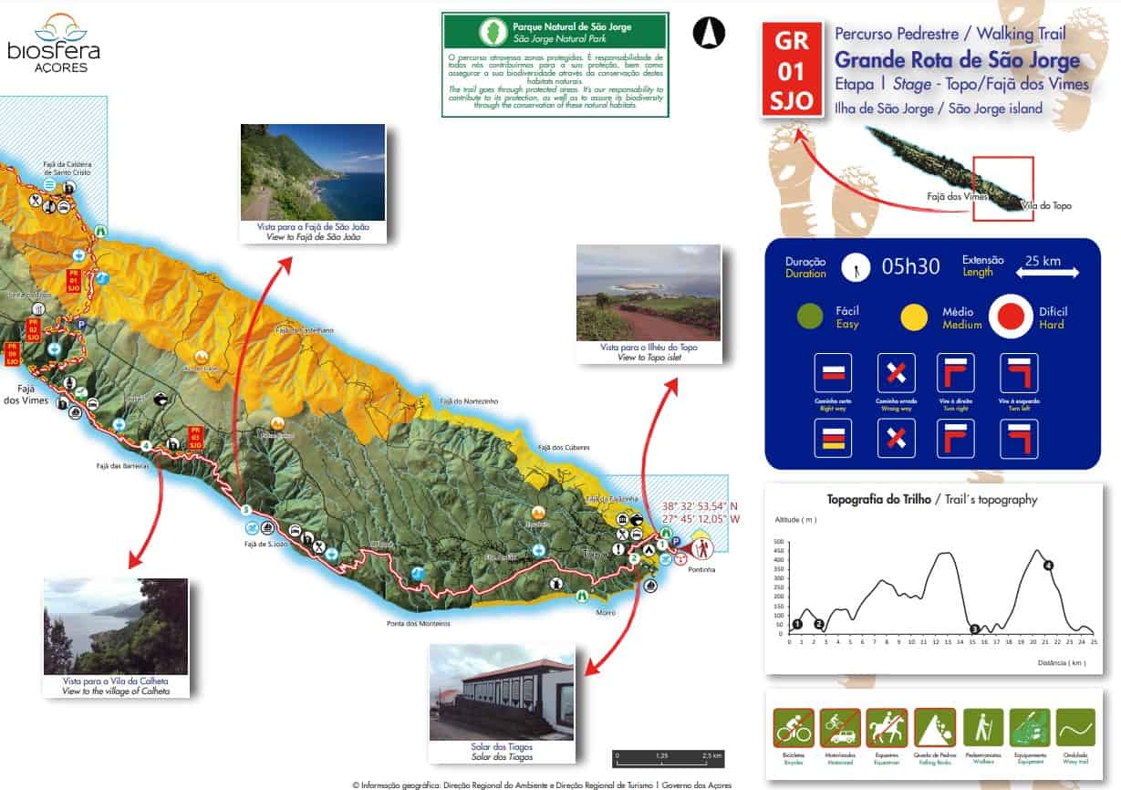
Great Route of Sao Jorge 01 – Sao Jorge GR01 SJO
Linear // 40 km // Hard
The Great Route traverses Sao Jorge from east to west. Stage 1 follows the southern coast until Faja dos Vimes before crossing over the central ridge and finishing along the three Fajas of Faja do Santo Cristo, Faja do Belo and Faja dos Cubres. Most walkers will split this into two days, with taxi pickup at Faja dos Vimes.
Footpath app route with live tracking
Download a printable Azores Trails guide
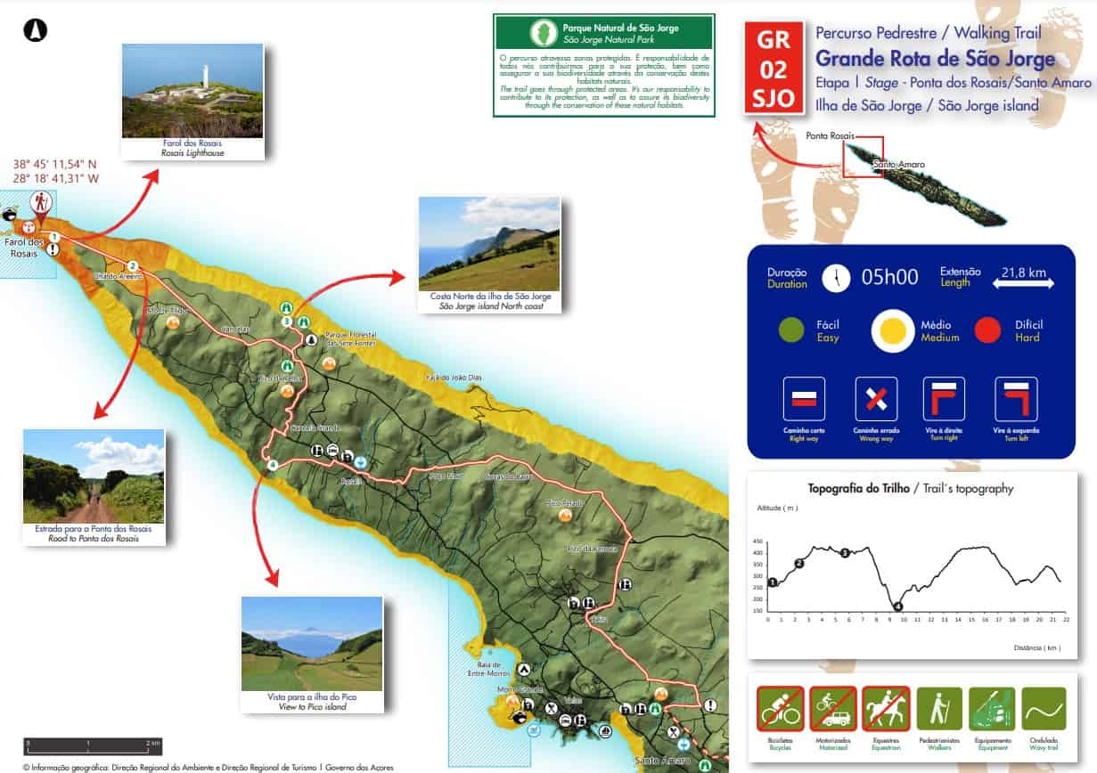
Great Route of Sao Jorge 02 – Sao Jorge GR02 SJO
Linear // 52.6 km // Hard
Stage 2 of Sao Jorge’s grand traverse returns to the ridge spine from Faja dos Cubres, following the highlands until Pico das Brennas. The way drops to the south then traversing the southern slopes above Velas. Strong walkers may make it to Velas in a day – but this is over 30km. The way finishes by criss-crossing the spine and ending at the western tip and the lighthouse at Ponta dos Rosais, where Sao Jorge dips steeply to the ocean. Again most people will split this route into two or three days, with transfers to/from their accommodation. Make it a memorable week by making the journey with your friends and in the company of our guides!
Footpath app route with live tracking
Download a printable Azores Trails guide
Archipelago Choice – the Azores Specialists
We specialise in tailor-made holidays to the nine islands of the Azores. Our experienced team of specialists are ready to put together your personalised trip; just give them a call on 017687 721020.


Follow us online